Usually, I try to avoid words like “all” or “any,” but sometimes they are necessary. As the title of this article implies, good surveys are crucial for construction projects. This statement includes both boundary and topographic ones. The former ensures that construction is performed within the limits of the subject site, which includes the property lines, but, if the project is part of campus, for example, then the boundary survey ensures that the limits of work do not creep into an adjacent future project, access road or path, or other limit line. And the latter, the topographic survey, not only depicts and records the existing conditions, such as existing pavement, trees, utility boxes, etc., but also informs us of what the existing ground looks like and how much we will need to alter it to build our won construction project on it, or, in a more sustainable approach, the topographic survey can inform us of what we need to do to minimize changing the existing ground.
A bit more on the boundary survey. Often, if not most of the time, a fence, wall, or structure at the edge of a lot is within the property lines, which should make perfect sense. However, in reality, this is not always the case. For many reasons, such as negligence, human error, or some other reason, structures sometimes lie beyond the cadastral limits, which is why a boundary survey is needed. This survey uses existing property ownership information found in official records and physical markers to verify existing boundaries, such as property lines, easements, and other types of geographic delineations. Therefore, it is important to have or acquire a survey of this type, which you trust to be accurate before the start of any construction work. Because, in extreme cases, if you build outside of the appropriate boundaries, you will be liable for demolition costs and property costs. Should you be obligated to purchase the property upon which the new structure is built?
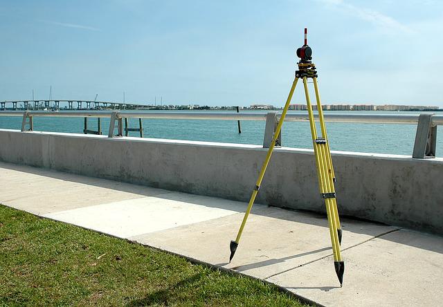
The topographic survey is critical because it provides a canvas on which you can design your new project. This “canvas” provides not only the ground contours but also the vegetation to help you determine what to keep; the existing utilities, both above and below ground; and any current structures already found on sites, such as a concrete walkway a well, or other concrete structures. In addition, topographic surveys need to provide enough area around your subject site to determine whether 1) adjacent stormwater runoff will drain onto your site, 2) if any overhead utilities, such as cables and poles, will be an issue during or after construction, 3) how the adjacent topography will blend into your proposed grading, and 4) in some cases, how the adjacent topography may impact your views, and how your proposed structures will impact others’ views.
As you may note, both boundary and topographic surveys are complicated and can be impactful. However, they are great for minimizing construction risks, as noted above. Therefore, they are both crucial to any construction project. Contact us if you would like to discuss this type of work further.